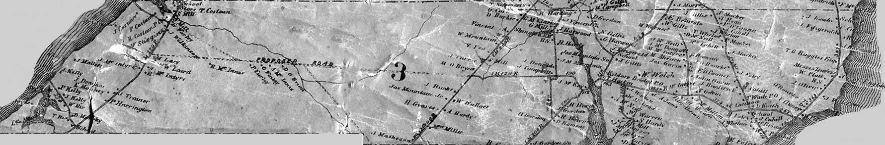
The following is more information about their maps.
cf. http://www.gov.pe.ca/aerialsurvey/index.php3
Several complete aerial surveys of Prince Edward Island may be browsed from this page.
The first set of photographs -- the most recent -- was produced in 2000 by the Department of Agriculture and Forestryas part of the 2000-2002 Corporate Land Use Inventory Project. The copyright of the images is retained by the Province of Prince Edward Island. You can read more information about these photos, including information on how to purchase prints or CDs.
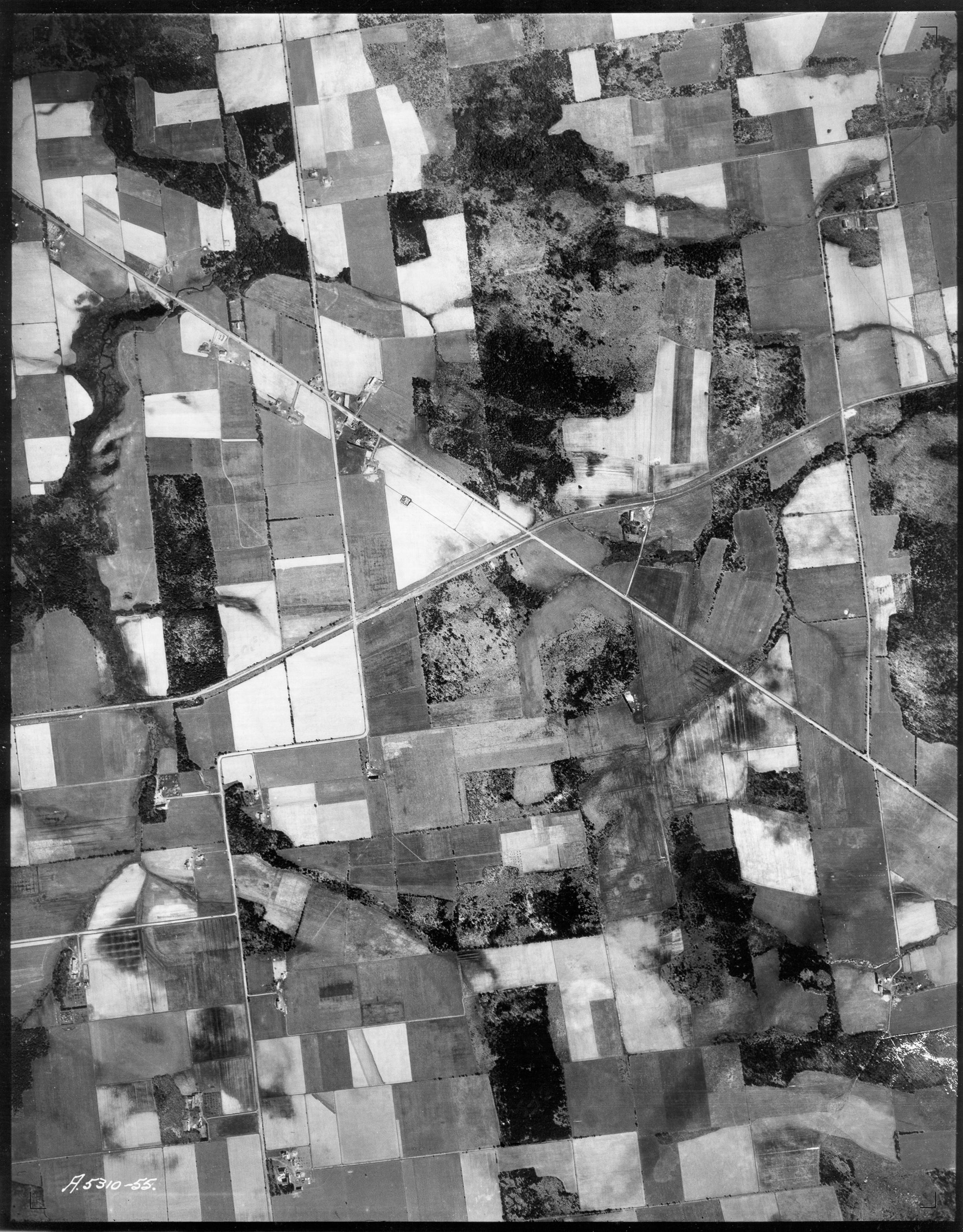
The 1935 Aerial Photo of Alma Corner - if you zoom in you can see the buildings and if you know what you're looking at even the apple orchards....

No comments:
Post a Comment