The Atlas also lists the property owner's name, address, wife and children's names. It's a wonderful resource.

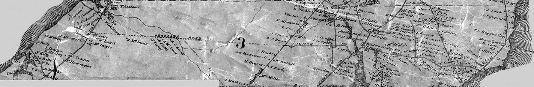
Below: an older version of the Cummins 1928 Atlas.
 http://www.islandimagined.ca/fedora/repository/imagined:collection/-/Island%20Imagined/3


Above: a more recent, reprint copy of the Cummins 1928 Atlas.
No comments:
Post a Comment